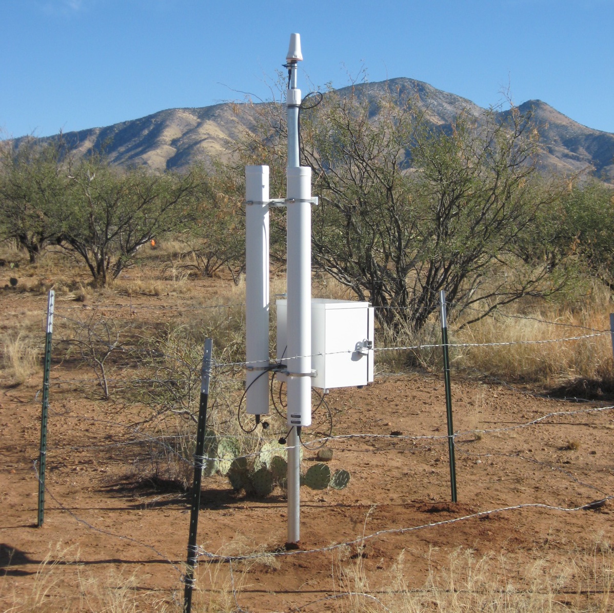
Santa Rita Mesquite
Installation Date:
Location (lat,lon):
Elevation (m asl):
Timezone (UTC):
Cutoff Rigidity (GV):
Mean Pressure (mb):
Lattice Water (%):
Soil Organic Carbon (%):
Max Count Rate (/hr):
Location (lat,lon):
Elevation (m asl):
Timezone (UTC):
Cutoff Rigidity (GV):
Mean Pressure (mb):
Lattice Water (%):
Soil Organic Carbon (%):
Max Count Rate (/hr):
2013-01-07
31.82,-110.84
0
-7
5.26
880
2.00
1.00
3973
31.82,-110.84
0
-7
5.26
880
2.00
1.00
3973
Soil Moisture (% Volumetric), Calibration Data
Effective Measurement Depth (cm)
Level 1 Data
(Plots)
Level 2 Data
Level 3 Data
Data Levels
Excel (.xls)
Matlab (.mat)
Python (.pkl)
COSMOS data is research level and subject to change.